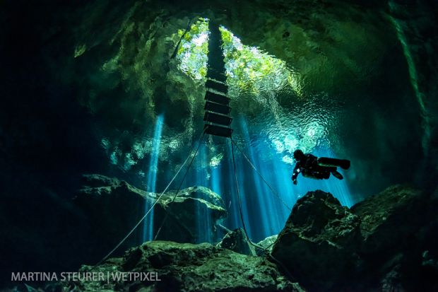
Wetpixel/Under The Jungle Cenote Workshop 2021
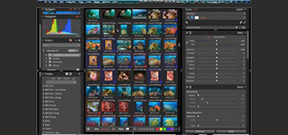
Adobe’s Benjamin Warde offers a short tutorial on the use of the Metadata Painter in Lightroom Classic CC in his Coffee Break tutorial series. In it, he shows how to use the painter to add keywords rapidly to a series of images in the Lightroom grid view.

Photographer Daniel Woods organized an underwater photo shoot with other photographers using the Sony α9. He produced a video showing some behind the scenes footage of the event. Woods tethered the camera to a monitor on the surface to better allow the models to see the resulting images and adjust their poses.
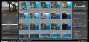
Alien Skin has released a significant update to its Exposure X3 photo management and editing app. The Complete Workflow Update adds HSL tools, Kelvin values for accurate WB, printing directly out of the app, watermarking, collections, additional flexibility with keywords and a side by side view.
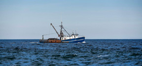
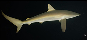
Conservationists are using algorithms and satellite data to help combat illegal fishing on the high seas and in marine protected areas. Environmentalists from Oceana have published data acquired from four separate case studies showing how illegal fisherman turn off their AIS (Automated Identification System) when entering marine protected waters and then turn it back after exiting. Often times these locations are home to highly lucrative fish, including tuna, sharks, and other protected fisheries.
RED Digital Cinema’s Sean Ruggeri has shared a stunning demo reel shot in Soccorro, Mexico with the new RED WEAPON MONSTRO camera and VV H2O OLPF. Filmed while diving with the Nautilus Explorer, Sean used a Nikonos RS20-135mm lens. The camera was housed in a Gates DEEP WEAPON housing and lighting was with Gates GT14 lights.
Do you want to be a part of the most interesting underwater photography event of 2018? The team from Gulen Dive Resort in Norway are seeking a few folks to join them and help ensure victory over their opposing team at Lembeh Resort, Indonesia for the SHOOTOUT.
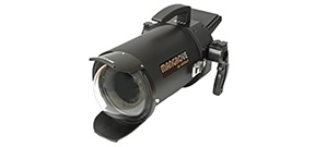
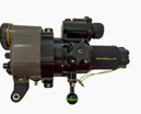
Aditech has announced their Mangrove MVHS-AX700 housing for the Sony AX700 family of 4K camcorders. Rated to 200m (330ft), it has an M77 threaded port and controls the camera via an electrical LANC connection. It also features a built in 3.5” High-Resolution TFT LCD monitor.
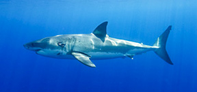
If you have seen Alex Suh’s stunning portfolio of images of great white sharks (Carcharodon carcharias) at Guadalupe on Wetpixel’s Full Frame and have been inspired, we have a few spaces left on our white shark trip from 26 to 30 August.